
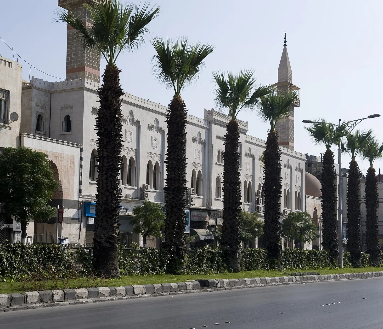
The name I got from Google Maps and Google Translate (from Arabic). An Naser Street is a wide avenue that on its western end has the Hijaz Station to its south, and one the eastern side the citadel. · Photo: Dosseman · CC BY-SA 4.0 · Wikimedia Commons · Recorded 2008
Gallery
Documented condition
Current condition not documented
Visiting
No verified visiting information. Inclusion in the atlas does not mean the place is open or safe to visit.
Getting here
Documented ride, stay and transport services in Damascus:
Nearby medical services
Straight-line distance from this place. Data: OpenStreetMap, as of 2026-10-30. Operating status not verified – call before going.
- Dermatology and Veneral Diseases HospitalHospital · 0.7 kmDirections
- Al kendy HospitalHospital · 0.7 kmCallDirections
- Obstetrics & Gynaecology HospitalHospital · 0.7 kmDirections
- مشفى الشرقHospital · 0.8 kmDirections
- birth hospitalHospital · 0.8 kmDirections
- مشفى التوفيقHospital · 0.8 kmDirections
Sources (5)
- Wikidata · CC0 · 2026-10-30
- Wikipedia (ar) · CC BY-SA 4.0 · 2026-10-30
- Wikipedia (en) · CC BY-SA 4.0 · 2026-10-30
- Wikipedia (fa) · CC BY-SA 4.0 · 2026-10-30
- OpenStreetMap · ODbL · 2026-10-30
Base record: identity, location and classification checked against the sources listed. No in-depth text yet. Last checked: 2026-10-30