
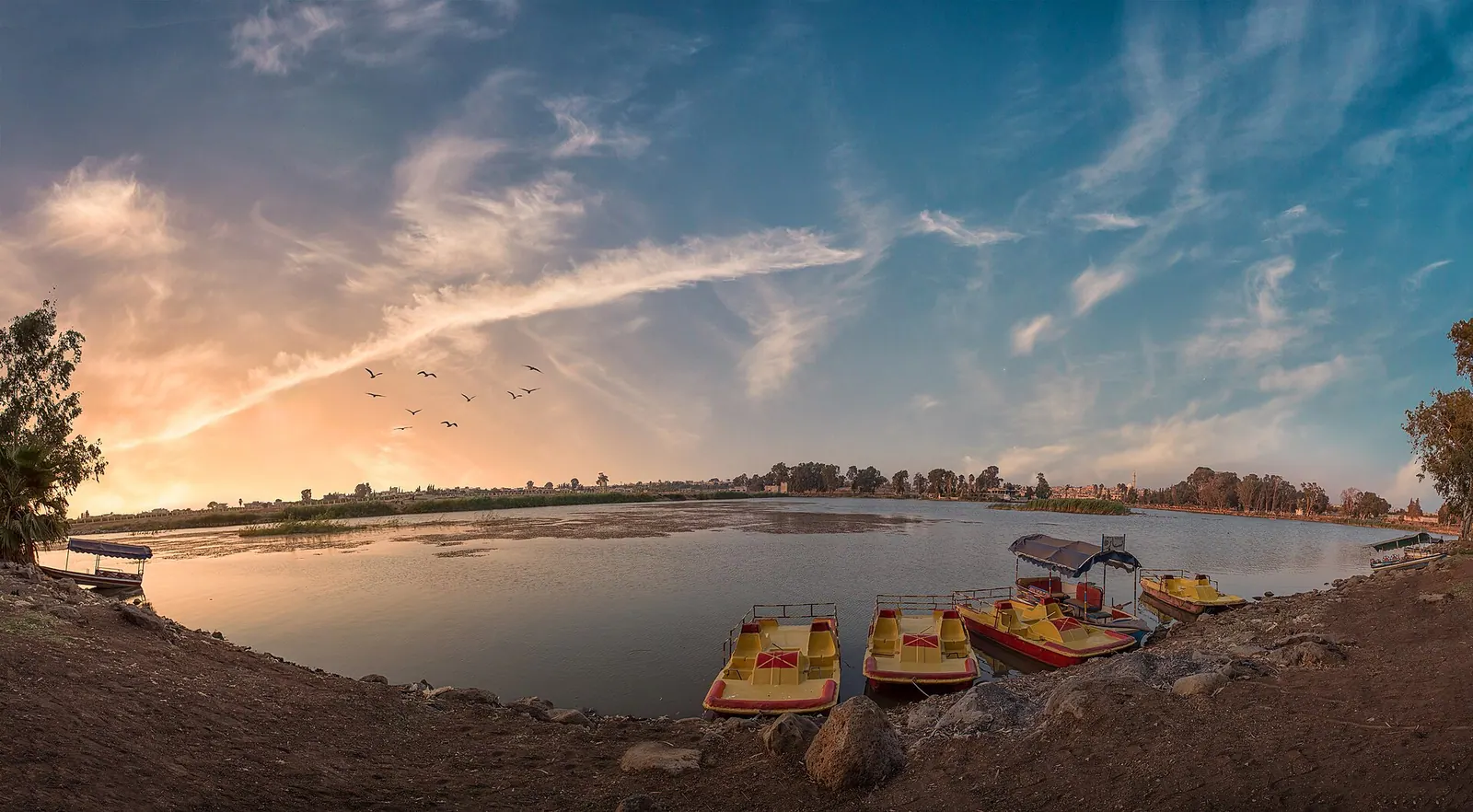
Photo: Abdullah hreden · CC BY-SA 4.0 · Wikimedia Commons · Recorded 2018
Lake Muzayrib
Local name: بحيرة مزيريب
Lake Muzayrib (Arabic Buhayrat al-Muzayrib) lies in the town of al-Muzayrib in Daraa Governorate, southern Syria. Arabic Wikipedia describes it as one of the largest bodies of water in the south and an important source of drinking water.
Landscape
Significance
The lake is described as one of the most important water sources of Daraa and Suwayda governorates, supplying drinking water to a large part of the population. Boats operate on it, and the source counts al-Muzayrib among the best-known excursion areas of Daraa Governorate.[1]
Documented condition
Current condition not documented
Visiting
Getting here
Documented ride, stay and transport services in Daraa:
Nearby medical services
Straight-line distance from this place. Data: OpenStreetMap, as of 2026-10-30. Operating status not verified – call before going.
- مديرية صحة درعاClinic / health centre · 11 kmDirections
- Daraa National HospitalHospital · 12 kmDirections
- Sharq ClinicHospital · 13 kmDirections
- Il Imam Nauaui HospitalHospital · 21 kmDirections
- Nawa National HospitalHospital · 22 kmDirections
- مشفى الحراكHospital · 26 kmDirections
Sources (3)
- Wikipedia (ar): بحيرة مزيريب rev. 73710937 · CC BY-SA 4.0 · 2026-10-30
- Wikidata: Q12197323 (بحيرة مزيريب) · CC0 1.0 · 2026-10-30
- OpenStreetMap · ODbL · 2026-10-30
Einzige Textquelle ist die arabischsprachige Wikipedia (sehr knapp, ohne Einzelnachweise); keine en/de-Artikel und keine Wikidata-Labels in en/de – deutscher und englischer Name sind Übertragungen. Interner Widerspruch: 500 × 250 m (≈0,125 km²) vs. „etwa 1 km²“. Keine Daten zu Entstehung, Geschichte oder aktuellem Wasserstand; daher keine Zeitleiste und kein Zustandsabschnitt. Wikidata-Koordinate 32.7045, 36.0209 nicht in den Text übernommen.