
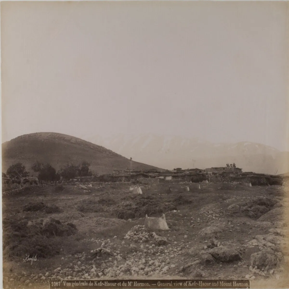
General view of the village of Kafr Hawr near the Mount Hermon range during the late Ottoman period · Photo: Felix Bonfils · Public domain · Wikimedia Commons · Recorded 1867
Documented condition
Current condition not documented
Visiting
No verified visiting information. Inclusion in the atlas does not mean the place is open or safe to visit.
Getting here
Documented ride, stay and transport services in Rif Dimashq:
Nearby medical services
Straight-line distance from this place. Data: OpenStreetMap, as of 2026-10-30. Operating status not verified – call before going.
- مشفى قطنا الوطنيHospital · 13 kmDirections
- Al Hikma HospitalHospital · 13 kmDirections
- مشفى السلامHospital · 14 kmDirections
- Golan Naitonal hospitalHospital · 22 kmDirections
- مشفى الكسوةHospital · 25 kmDirections
- مستوصف الكسوةHospital · 26 kmDirections
Sources (6)
- Wikidata · CC0 · 2026-10-30
- Wikipedia (ar) · CC BY-SA 4.0 · 2026-10-30
- Wikipedia (en) · CC BY-SA 4.0 · 2026-10-30
- Wikipedia (fa) · CC BY-SA 4.0 · 2026-10-30
- Wikipedia (pl) · CC BY-SA 4.0 · 2026-10-30
- OpenStreetMap · ODbL · 2026-10-30
Base record: identity, location and classification checked against the sources listed. No in-depth text yet. Last checked: 2026-10-30